Delwedd:2012-02-27 21-38-50-m44-42f-41d-8o.jpg

Maint llawn((4,288 × 2,848 picsel, maint y ffeil: 7.38 MB, ffurf MIME: image/jpeg))

Daw'r ffeil hon o Comin Wikimedia a gellir ei defnyddio gan brosiectau eraill. Dangosir isod y disgrifiad sydd ar dudalen ddisgrifio'r ffeil yno.

Crynodeb

Disgrifiad
 
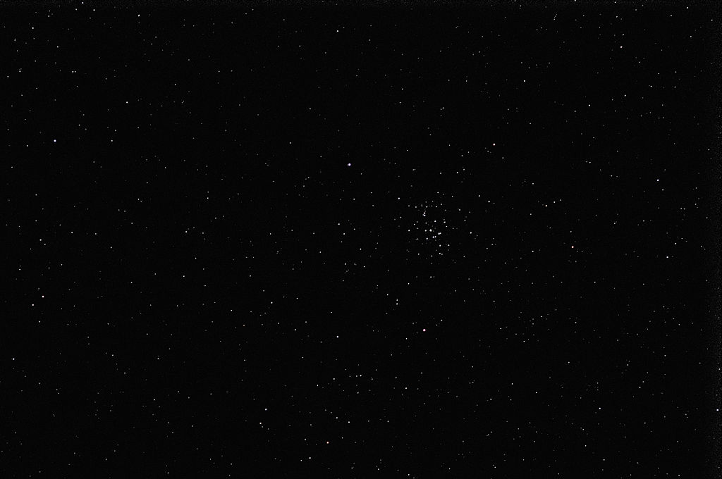
This file was uploaded with Commonist.
 
This photograph was taken with a Nikon D300
Stellar object identification request This image depicts a section of the night sky. A bot was notified to identify the stellar objects visible in the frame using Astrometry.net.
L'amas ouvert de la Crèche (M44).

Paramètres de prises de vue :

  • 42 photos : 2,5 secondes de pose, f/3.5, ISO 800 , objectif 105 mm
  • 41 darks : même paramètres de prise de vue.
  • 8 offsets : même paramètres de prise de vue, temps de pose : 1/8000 s.
Tout a été compilé avec DeepSkyStacker.
Dyddiad
Ffynhonnell Gwaith yr uwchlwythwr
Awdur
Thomas Bresson  
 
Thomas Bresson
Enwau eraill
Disgrifiad Ffrengig photographer
Dyddiad geni 31 Rhagfyr 1982
Man geni Belfort
Cyfnod y bu'n gweithio from 2008
date QS:P,+2008-00-00T00:00:00Z/7,P580,+2008-00-00T00:00:00Z/9
This photo / video was taken by Thomas Bresson.

Please credit this with : Photo : Thomas Bresson or Video : Thomas Bresson in the immediate vicinity of the image.

If you use one of my photos, please email me (account needed) or leave me a short message on my discussion page.
It would be greatly appreciated.
Do not copy this image illegally by ignoring the terms of the license below, as it is not in the public domain.

If you would like special permission to use, license, or purchase the image please contact me to negotiate terms.


العربية | বাংলা | English | français | македонски | Nederlands | Türkçe | +/−

Camera location47° 37′ 13.29″ N, 6° 59′ 10.53″ E Kartographer map based on OpenStreetMap.View this and other nearby images on: OpenStreetMapinfo

Trwyddedu

w:en:Creative Commons
cydnabyddiaeth
Trwyddedir y ffeil hon yn ôl termau'r drwydded Creative Commons Attribution 3.0 Unported.
Mae'n rhydd i chi:
  • rhannu – gallwch gopïo, dosbarthu a throsglwyddo'r gwaith
  • ailwampio – gallwch addasu'r gwaith
Ar yr amodau canlynol:
  • cydnabyddiaeth – Mae'n rhaid i chi nodi manylion y gwaith hwn, rhoi dolen i'r drwydded, a nodi os y bu golygu arni, yn y modd a benwyd gan yr awdur neu'r trwyddedwr (ond heb awgrymu o gwbl eu bod yn eich cymeradwyo chi na'ch defnydd o'r gwaith).

Mae'r llun hwn wedi cael ei asesu yn ôl gofynion y Canllaw i Luniau Graenus ac yn cael ei gyfrif ymhlith y Lluniau Graenus.

العربية  جازايرية  беларуская  беларуская (тарашкевіца)  български  বাংলা  català  čeština  Cymraeg  Deutsch  Schweizer Hochdeutsch  Zazaki  Ελληνικά  English  Esperanto  español  eesti  euskara  فارسی  suomi  français  galego  עברית  हिन्दी  hrvatski  magyar  հայերեն  Bahasa Indonesia  italiano  日本語  Jawa  ქართული  한국어  kurdî  Lëtzebuergesch  lietuvių  македонски  മലയാളം  मराठी  Bahasa Melayu  Nederlands  Norfuk / Pitkern  polski  português  português do Brasil  rumantsch  română  русский  sicilianu  slovenčina  slovenščina  shqip  српски / srpski  svenska  தமிழ்  తెలుగు  ไทย  Tagalog  Türkçe  toki pona  українська  vèneto  Tiếng Việt  中文  中文(简体)  中文(繁體)  +/−

Captions

Add a one-line explanation of what this file represents

Items portrayed in this file

yn portreadu

47°37'13.28560"N, 6°59'10.53107"E

27 Chwefror 2012

media type Saesneg

image/jpeg

checksum Saesneg

7e4a61d621abb69361a2eb7681256b93f6e22b4b

data size Saesneg

7,739,764 byte

2,848 pixel

4,288 pixel

Hanes y ffeil

Cliciwch ar ddyddiad / amser i weld y ffeil fel ag yr oedd bryd hynny.

Dyddiad / AmserBawdlunHyd a lledDefnyddiwrSylw
cyfredol07:44, 29 Chwefror 2012Bawdlun y fersiwn am 07:44, 29 Chwefror 20124,288 × 2,848 (7.38 MB)ComputerHotline

Mae'r 1 tudalennau a ddefnyddir isod yn cysylltu i'r ddelwedd hon:

Defnydd cydwici y ffeil

Mae'r wicis eraill hyn yn defnyddio'r ffeil hon:

Metadata