Delwedd:Asterton and the Clun Forest - geograph.org.uk - 440942.jpg
Wedi ei chwyddo hyd yr eithaf.
Asterton_and_the_Clun_Forest_-_geograph.org.uk_-_440942.jpg ((640 × 480 picsel, maint y ffeil: 110 KB, ffurf MIME: image/jpeg))
Crynodeb
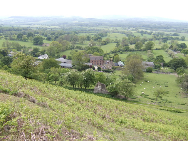
| Disgrifiad |
English: Asterton and the Clun Forest View from just about the steepest public road in the midlands! |
| Dyddiad | |
| Ffynhonnell | From geograph.org.uk |
| Awdur | Jonathan Billinger |
| Cydnabyddiaeth (required by the license) | Jonathan Billinger / Asterton and the Clun Forest / |
| Camera location | | View this and other nearby images on: OpenStreetMap |
|---|
_heading:247.00&language=cy)
| Object location | | View this and other nearby images on: OpenStreetMap |
|---|
_heading:247.00&language=cy)
Trwyddedu

|
This image was taken from the Geograph project collection. See this photograph's page on the Geograph website for the photographer's contact details. The copyright on this image is owned by Jonathan Billinger and is licensed for reuse under the Creative Commons Attribution-ShareAlike 2.0 license.
|
Trwyddedir y ffeil hon yn ôl termau'r drwydded Creative Commons Attribution-Share Alike 2.0 Generic.
Cydnabyddiaeth: Jonathan Billinger
- Mae'n rhydd i chi:
- rhannu – gallwch gopïo, dosbarthu a throsglwyddo'r gwaith
- ailwampio – gallwch addasu'r gwaith
- Ar yr amodau canlynol:
- cydnabyddiaeth – Mae'n rhaid i chi nodi manylion y gwaith hwn, rhoi dolen i'r drwydded, a nodi os y bu golygu arni, yn y modd a benwyd gan yr awdur neu'r trwyddedwr (ond heb awgrymu o gwbl eu bod yn eich cymeradwyo chi na'ch defnydd o'r gwaith).
- rhannu ar dermau tebyg – Os byddwch yn addasu'r gwaith hwn, neu yn ei drawsnewid, neu yn adeiladu arno, mae'n rhaid i chi ddosbarthu'r gwaith dan drwydded sy'n union yr un fath same a'r gwreiddiol.
- Remove redundant categories and try to put this image in the most specific category/categories
- Remove this template
- The location categories are based on information from this geonames tool and this OpenStreetMap tool combined with a database. You can also have a look at this tool from mysociety.
- The topic category from Geograph was Countryside (find similar images at Geograph)
Hanes y ffeil
Cliciwch ar ddyddiad / amser i weld y ffeil fel ag yr oedd bryd hynny.
| Dyddiad / Amser | Bawdlun | Hyd a lled | Defnyddiwr | Sylw | |
|---|---|---|---|---|---|
| cyfredol | 10:36, 4 Chwefror 2011 | | 640 × 480 (110 KB) | GeographBot | == {{int:filedesc}} == {{Information |description={{en|1=Asterton and the Clun Forest View from just about the steepest public road in the midlands!}} |date=2007-05-21 |source=From [http://www.geograph.org.uk/photo/440942 geograph.org.uk] |author=[http:// |
Cysylltiadau'r ffeil
Mae'r 1 tudalennau a ddefnyddir isod yn cysylltu i'r ddelwedd hon:
Defnydd cydwici y ffeil
Mae'r wicis eraill hyn yn defnyddio'r ffeil hon: