Delwedd:Azerbaijan adm location map.svg

Maint llawn (Ffeil SVG, maint mewn enw 1,200 × 919 picsel, maint y ffeil: 274 KB)
Crynodeb
| Disgrifiad |
Deutsch: Positionskarte von Aserbaidschan
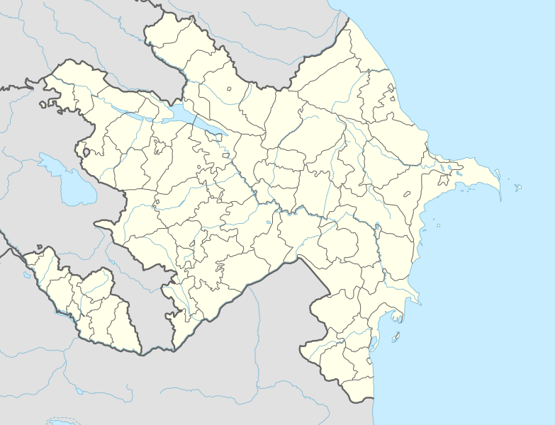
English: Location map of Azerbaijan
|
||||||||||||
| Dyddiad | |||||||||||||
| Ffynhonnell |
Own work using:
|
||||||||||||
| Awdur | NordNordWest | ||||||||||||
| Diwygiadau eraill |
|
||||||||||||
_location_map.svg)
_location_map.svg)

|
This map has been made or improved in the German Kartenwerkstatt (Map Lab). You can propose maps to improve as well.
|
Trwyddedu
Usage of this file with:

explanatory notes: Legally binding is only the full legalcode. For a free usage I recommend to respect the following licence conditions:
1. Provide my name as given above: NordNordWest,
2. a copy of, or the URI for, the applicable license: https://creativecommons.org/licenses/by-sa/3.0/de/legalcode,
3. the title of the work,
4. in the case of an adaptation, a credit identifying the use of the work in the adaptation.
This license and the rights granted hereunder will terminate automatically upon any breach by you of the terms of this license. Any of the above conditions can be waived if you get permission from the copyright holder. If you have questions or wish differing conditions, please contact me through nnwest or my discussion page ![]() t-online.de
t-online.de
- Mae'n rhydd i chi:
- rhannu – gallwch gopïo, dosbarthu a throsglwyddo'r gwaith
- ailwampio – gallwch addasu'r gwaith
- Ar yr amodau canlynol:
- cydnabyddiaeth – Mae'n rhaid i chi nodi manylion y gwaith hwn, rhoi dolen i'r drwydded, a nodi os y bu golygu arni, yn y modd a benwyd gan yr awdur neu'r trwyddedwr (ond heb awgrymu o gwbl eu bod yn eich cymeradwyo chi na'ch defnydd o'r gwaith).
- rhannu ar dermau tebyg – Os byddwch yn addasu'r gwaith hwn, neu yn ei drawsnewid, neu yn adeiladu arno, mae'n rhaid i chi ddosbarthu'r gwaith dan drwydded sy'n union yr un fath same a'r gwreiddiol.

Hanes y ffeil
Cliciwch ar ddyddiad / amser i weld y ffeil fel ag yr oedd bryd hynny.
| Dyddiad / Amser | Bawdlun | Hyd a lled | Defnyddiwr | Sylw | |
|---|---|---|---|---|---|
| cyfredol | 14:39, 10 Ebrill 2024 | | 1,200 × 919 (274 KB) | NordNordWest | corr |
| 20:51, 26 Ionawr 2024 |  | 1,200 × 919 (274 KB) | NordNordWest | corr Ağdərə | |
| 12:58, 7 Hydref 2023 |  | 1,200 × 919 (273 KB) | Nemoralis | this is in common usage | |
| 12:31, 7 Hydref 2023 |  | 1,200 × 919 (280 KB) | Toghrul R | there's a separate file for this | |
| 20:24, 2 Hydref 2023 |  | 1,200 × 919 (273 KB) | Qutlu | upd | |
| 19:18, 20 Ebrill 2021 |  | 1,200 × 919 (280 KB) | NordNordWest | . | |
| 19:18, 19 Ebrill 2021 |  | 1,200 × 919 (286 KB) | AntonSamuel | Further minor fixes | |
| 19:12, 19 Ebrill 2021 |  | 1,200 × 919 (286 KB) | AntonSamuel | Stripes fix | |
| 15:58, 19 Ebrill 2021 |  | 1,200 × 919 (286 KB) | AntonSamuel | Minor fix for Shusha | |
| 15:56, 19 Ebrill 2021 |  | 1,200 × 919 (286 KB) | AntonSamuel | Further adjustments |
Cysylltiadau'r ffeil
Mae'r 1 tudalennau a ddefnyddir isod yn cysylltu i'r ddelwedd hon:
Defnydd cydwici y ffeil
Mae'r wicis eraill hyn yn defnyddio'r ffeil hon:
- Y defnydd ar ab.wikipedia.org
- Y defnydd ar af.wikipedia.org
- Y defnydd ar als.wikipedia.org
- Y defnydd ar ang.wikipedia.org
- Y defnydd ar an.wikipedia.org
- Y defnydd ar ar.wikipedia.org
- Y defnydd ar ast.wikipedia.org
- Baku Crystal Hall
- Bakú
- Estadiu Tofiq Bəhramov
- Complexu Deportivu y de Conciertos Heydər Əliyev
- Tigranakert (Artsakh)
- Stepanakert
- Sumqayit
- Mingachevir
- Circuitu urbanu de Bakú
- Módulu:Mapa de llocalización/datos/Azerbaixán
- Módulu:Mapa de llocalización/datos/Azerbaixán/usu
- Frontera ente Azerbaixán ya Irán
- Frontera ente Azerbaixán y Turquía
- Alministración Presidencial d'Azerbaixán
- Aeropuertu Internacional Heydar Aliyev
- Aeropuertu de Ganja
- Aeropuertu de Stepanakert
- Puertu comercial marítimu internacional de Bakú
- Muséu Estatal d'Historia d'Azerbaixán
- Muséu d'Arte Modernu de Bakú
- Observatoriu Astrofísicu de Şamaxı
- Metro de Bakú
- Estación de ferrocarril de Bakú
- Islla Gil (Azerbaixán)
- Y defnydd ar av.wikipedia.org
- Y defnydd ar azb.wikipedia.org
Gweld rhagor o'r defnydd cydwici o'r ffeil hon.