Delwedd:Districts du pays de Galles (1974-1996).svg

Maint rhagolwg PNG o ffeil SVG yw: 501 × 599 picsel. Eglurdebau eraill: 201 × 240 picsel | 401 × 480 picsel | 642 × 768 picsel | 856 × 1,024 picsel | 1,713 × 2,048 picsel | 981 × 1,173 picsel.
Maint llawn (Ffeil SVG, maint mewn enw 981 × 1,173 picsel, maint y ffeil: 1.65 MB)
.svg)
Crynodeb
| Disgrifiad |
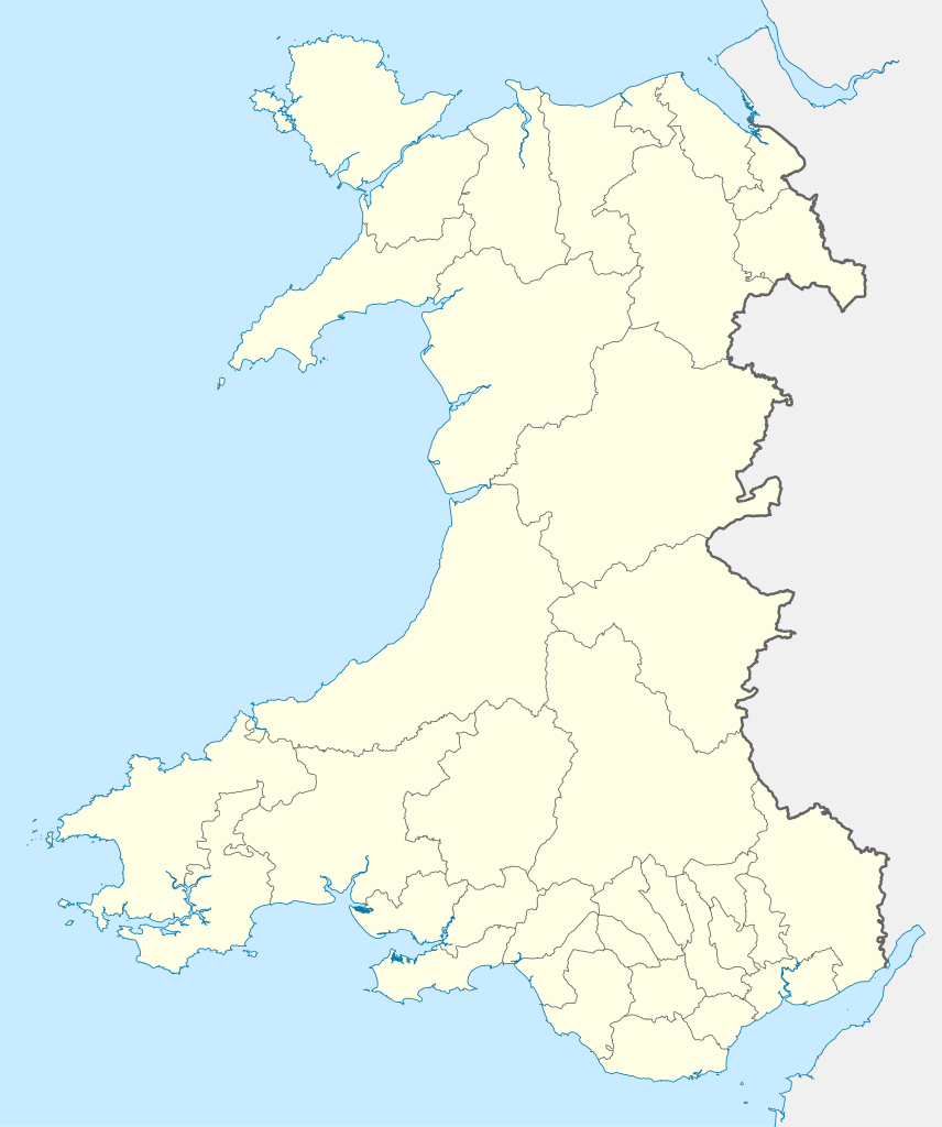
English: Map of districts of Wales from 1974 to 1996.
Français : Carte des districts du Pays de Galles de 1974 à 1996. |
|||||||||
| Cydnabyddiaeth (required by the license) | © Sémhur / Wikimedia Commons / | |||||||||
| SVG genesis | ||||||||||
| Dyddiad | ||||||||||
| Ffynhonnell | You may find a page on the OpenStreetMap wiki page for Wales Administrative 1974.png by XrysD under CC-BY-SA 3.0 | |||||||||
| Crëwr |
OpenStreetMap contributors |
|||||||||
| Caniatâd (Ailddefnyddio'r ffeil hon) |
OpenStreetMap data is available under the Open Database License (details). Standard style map tiles are licensed as ODbL Produced Works.
|
|||||||||
| Geotemporal data | ||||||||||
| Bounding box |
|
|||||||||
| Georeferencing | If inappropriate please set warp_status = skip to hide. | |||||||||
Hanes y ffeil
Cliciwch ar ddyddiad / amser i weld y ffeil fel ag yr oedd bryd hynny.
| Dyddiad / Amser | Bawdlun | Hyd a lled | Defnyddiwr | Sylw | |
|---|---|---|---|---|---|
| cyfredol | 20:19, 17 Rhagfyr 2020 | | 981 × 1,173 (1.65 MB) | Sémhur | Lighter |
| 20:50, 16 Rhagfyr 2020 |  | 981 × 1,173 (1.96 MB) | Sémhur | Lighter | |
| 20:42, 16 Rhagfyr 2020 |  | 981 × 1,173 (2.14 MB) | Sémhur | == {{int:filedesc}} == {{OpenStreetMap |name = {{f|Wales Administrative 1974.png}} by {{u|XrysD}} under CC-BY-SA 3.0 |location =Wales |description = {{en|1= Map of {{w|districts of Wales||en}} from 1974 to 1996.}} {{fr|1= Carte des {{w|Subdivisions du pays de Galles|districts du Pays de Galles|fr}} de 1974 à 1996.}} |top =53.5 |bottom =51.3 |left =-5.5 |right =-2.5 |date =2020-12-16 |authors ={{u|Sémhur}} |oth... |
Cysylltiadau'r ffeil
Nid oes tudalennau'n defnyddio'r ffeil hon.
Defnydd cydwici y ffeil
Mae'r wicis eraill hyn yn defnyddio'r ffeil hon:
- Y defnydd ar fr.wikipedia.org
.svg)