Delwedd:Golfo de Vizcaya - BM WMS 2004.jpg

Maint y rhagolwg: 643 × 600 picsel. Eglurdebau eraill: 257 × 240 picsel | 514 × 480 picsel | 823 × 768 picsel | 1,060 × 989 picsel.
Maint llawn ((1,060 × 989 picsel, maint y ffeil: 205 KB, ffurf MIME: image/jpeg))
| Disgrifiad |
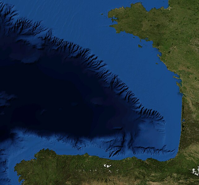
Español: Foto satelital del Golfo de Vizcaya
English: Satellite Picture of the Bay of Biscay |
|||
| Dyddiad | ||||
| Ffynhonnell | Satellite pictures, from NASA World Wind Globe, version 1.4 | |||
| Awdur | Serg!o | |||
| Caniatâd (Ailddefnyddio'r ffeil hon) |
|

Hanes y ffeil
Cliciwch ar ddyddiad / amser i weld y ffeil fel ag yr oedd bryd hynny.
| Dyddiad / Amser | Bawdlun | Hyd a lled | Defnyddiwr | Sylw | |
|---|---|---|---|---|---|
| cyfredol | 12:08, 22 Mehefin 2010 | | 1,060 × 989 (205 KB) | Serg!o | {{Information |Description={{es|Foto satelital del es:Golfo de Vizcaya}} {{en|Satellite Picture of the en:Bay of Biscay}} |Source=Satellite pictures, from NASA World Wind Globe, version 1.4 |Date=22-07-2010 |Author=Serg!o |Permis |
Cysylltiadau'r ffeil
Nid oes tudalennau'n defnyddio'r ffeil hon.
Defnydd cydwici y ffeil
Mae'r wicis eraill hyn yn defnyddio'r ffeil hon:
- Y defnydd ar es.wikipedia.org
- Y defnydd ar eu.wikipedia.org
- Y defnydd ar pl.wiktionary.org
- Y defnydd ar ur.wikipedia.org