Delwedd:India Andhra Pradesh locator map (1956-2014).svg

Maint llawn (Ffeil SVG, maint mewn enw 1,574 × 1,738 picsel, maint y ffeil: 836 KB)
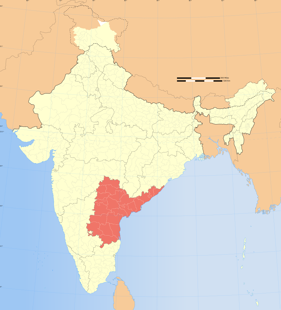
| Teitl |
Andhra Pradesh locator map |
|||||||||
| Disgrifiad |
Locator map of the state of Andhra Pradesh (pre Telangana statehood), India with district boundaries. |
|||||||||
| Map legend |
 |
|||||||||
| Dyddiad | ||||||||||
| Ffynhonnell |
Gwaith yr uwchlwythwr |
|||||||||
| Crëwr |
|
|||||||||
| Caniatâd (Ailddefnyddio'r ffeil hon) |
Yr wyf fi, deiliad yr hawlfraint ar y gwaith hwn, yn ei gyhoeddi yn ôl termau'r drwydded a ganlyn: Trwyddedir y ffeil hon yn ôl termau'r drwydded Creative Commons Attribution-Share Alike 3.0 Unported.
|
|||||||||
| Geotemporal data | ||||||||||
| Date depicted | second half of 20 century a/ac 21 century | |||||||||
| Spatial reference system | conic | |||||||||
| Bounding box |
|
|||||||||
| Archival data | ||||||||||
| Nodiadau | Part of WikiProject India Maps | |||||||||
| Diwygiadau eraill |
|
|||||||||
| SVG genesis | This W3C-invalid locator map was created with Adobe Illustrator. |
|||||||||


.svg)
.svg¶ms=36.70_N_64.8_E_)
.svg¶ms=37.23_N_99.0_E_)
.svg¶ms=5.9_N_68.76_E_)
.svg¶ms=6.25_N_96.09_E_)
Notes
Depiction of India's borders
- The territorial boundaries of India are shown as per the actual ground situation in accordance with international practices followed by the United Nations ([2], [3]) and the National Geographic Society ([4], [5])
- This map is meant to be for illustrative purpose only and is not authenticated by official government sources. Please check the list of sources and references used to create the map for a measure of accuracy and verifiability.
- The usage of these maps in India, Pakistan and China are governed by different laws that restrict depictions of boundaries other than what is officially recognized by the state. Please check local laws and modify the map accordingly before use.
Explanation of disputed boundaries


- Boundary of Indian claim : The territory India claims is legally theirs, but the claim is disputed by China and Pakistan.
- Line of Control/Line of Conflict : The de facto administrative boundary recognised by the international community. This UN ceasefire line is considered as a temporary solution to an ongoing conflict since the departure of the British Raj.
Borders of disputed regions
The depicted extent of the former territory of the British Indian Empire, succeeded by Republic of India, may not be accepted by few countries as legal due to ongoing border disputes:
- The northern Himalayan region of the disputed territory Indian-administered Kashmir is claimed by India including (Pakistan-administered Kashmir) and the Chinese-occupied territory of (Ladakh plateau). Since 1972, it is divided between all three countries. See also Line of Control and Line of Actual Control.
- Siachen glacier (shown white) is an actively contested region between India and Pakistan. Since 1984, the region is under Indian control.
- The northeastern territory of Arunachal Pradesh is almost entirely claimed by China as part of its Tibetan territory.
- Minor areas of eastern Kashmir's Ladakh division, Himachal Pradesh and Uttarakhand on the Chinese frontier are claimed by China. These areas are under Indian control.
- A small area of Uttarakhand adjoining the Nepal border along the Sarda river is disputed between the two countries.
For a detailed map of all disputed regions in South Asia, see Image:India disputed areas map.svg
Internal borders
The borders of the state of Meghalaya, Assam and Arunachal Pradesh are shown as interpreted from the North-Eastern Areas (Reorganisation) Act, 1971, but has yet to be verified.
Territorial waters
The limit of the territorial waters of India extends to twelve nautical miles measured from the appropriate baseline. See this for more information.
Hanes y ffeil
Cliciwch ar ddyddiad / amser i weld y ffeil fel ag yr oedd bryd hynny.
| Dyddiad / Amser | Bawdlun | Hyd a lled | Defnyddiwr | Sylw | |
|---|---|---|---|---|---|
| cyfredol | 21:27, 1 Mehefin 2014 | | 1,574 × 1,738 (836 KB) | RaviC | Keep this file for historical purposes.. Upload the new version to a new file name |
| 21:23, 1 Mehefin 2014 |  | 1,643 × 1,854 (1.08 MB) | RaviC | -Telangana | |
| 06:21, 29 Rhagfyr 2008 |  | 1,574 × 1,738 (836 KB) | Planemad | {{Information |Description= |Source= |Date= |Author= |Permission= |other_versions= }} | |
| 17:24, 6 Awst 2006 |  | 1,639 × 1,852 (750 KB) | Planemad | {{WikiProject_India_Maps |Title=Andhra Pradesh locator map |Description=Locator map of the state of Andhra Pradesh, India with district boundaries. |Source=. |Date=August 6 2006 |Author=w:user:Nichalpw:user:Planemad |Thumbdir=CHANGE } |
Cysylltiadau'r ffeil
Mae'r 1 tudalennau a ddefnyddir isod yn cysylltu i'r ddelwedd hon:
Defnydd cydwici y ffeil
Mae'r wicis eraill hyn yn defnyddio'r ffeil hon:
- Y defnydd ar en.wikipedia.org
- Y defnydd ar gu.wikipedia.org
- Y defnydd ar is.wikipedia.org
- Y defnydd ar mg.wikipedia.org
- Y defnydd ar ne.wikipedia.org
- Y defnydd ar or.wikipedia.org
- Y defnydd ar pa.wikipedia.org
- Y defnydd ar pl.wikipedia.org
- Andhra Pradesh
- Visakhapatnam (dystrykt)
- Anantapur (dystrykt)
- Guntur (dystrykt)
- East Godavari (dystrykt)
- Kadapa (dystrykt)
- Chittoor (dystrykt)
- Hajdarabad (dystrykt)
- Karimnagar (dystrykt)
- Khammam (dystrykt)
- Krishna (dystrykt)
- Karnulu (dystrykt)
- Mahbubnagar (dystrykt)
- Medak (dystrykt)
- Nalgonda (dystrykt)
- Nellore (dystrykt)
- Nizamabad (dystrykt)
- Prakasam (dystrykt)
- Rangareddi (dystrykt)
- Srikakulam (dystrykt)
- Vizianagaram (dystrykt)
- West Godavari (dystrykt)
- Warangal (dystrykt)
- Szablon:Stan Andhra Pradesh
- Y defnydd ar sa.wikipedia.org
- Y defnydd ar sq.wikipedia.org
- Y defnydd ar ta.wikipedia.org
- Y defnydd ar ta.wikinews.org
Gweld rhagor o'r defnydd cydwici o'r ffeil hon.
.svg)
.svg)