Delwedd:Indonesia Papua 2022 location map.svg

Maint rhagolwg PNG o ffeil SVG yw: 800 × 511 picsel. Eglurdebau eraill: 320 × 204 picsel | 640 × 409 picsel | 1,024 × 654 picsel | 1,280 × 817 picsel | 2,560 × 1,634 picsel | 2,832 × 1,808 picsel.
Maint llawn (Ffeil SVG, maint mewn enw 2,832 × 1,808 picsel, maint y ffeil: 144 KB)
Crynodeb
| Disgrifiad |
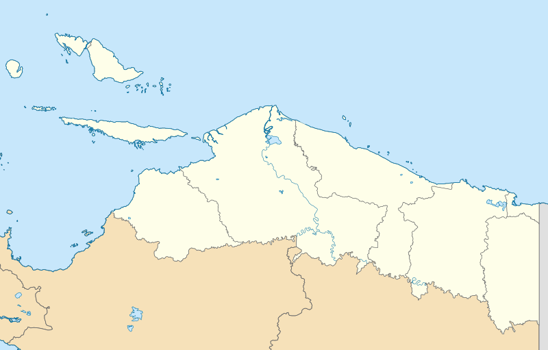
English: Location map of Papua, Indonesia
WGS84, UTM
|
| Dyddiad | |
| Ffynhonnell | Gwaith yr uwchlwythwr |
| Awdur | Envapid |
Trwyddedu
Yr wyf fi, deiliad yr hawlfraint ar y gwaith hwn, yn ei gyhoeddi yn ôl termau'r drwydded a ganlyn:
Trwyddedir y ffeil hon yn ôl termau'r drwydded Creative Commons Attribution-Share Alike 4.0 International.
- Mae'n rhydd i chi:
- rhannu – gallwch gopïo, dosbarthu a throsglwyddo'r gwaith
- ailwampio – gallwch addasu'r gwaith
- Ar yr amodau canlynol:
- cydnabyddiaeth – Mae'n rhaid i chi nodi manylion y gwaith hwn, rhoi dolen i'r drwydded, a nodi os y bu golygu arni, yn y modd a benwyd gan yr awdur neu'r trwyddedwr (ond heb awgrymu o gwbl eu bod yn eich cymeradwyo chi na'ch defnydd o'r gwaith).
- rhannu ar dermau tebyg – Os byddwch yn addasu'r gwaith hwn, neu yn ei drawsnewid, neu yn adeiladu arno, mae'n rhaid i chi ddosbarthu'r gwaith dan drwydded sy'n union yr un fath same a'r gwreiddiol.
Hanes y ffeil
Cliciwch ar ddyddiad / amser i weld y ffeil fel ag yr oedd bryd hynny.
| Dyddiad / Amser | Bawdlun | Hyd a lled | Defnyddiwr | Sylw | |
|---|---|---|---|---|---|
| cyfredol | 15:47, 9 Ionawr 2024 | | 2,832 × 1,808 (144 KB) | Envapid | fix2 |
| 13:51, 9 Ionawr 2024 |  | 2,832 × 1,808 (144 KB) | Envapid | Uploaded own work with UploadWizard |
Cysylltiadau'r ffeil
Nid oes tudalennau'n defnyddio'r ffeil hon.
Defnydd cydwici y ffeil
Mae'r wicis eraill hyn yn defnyddio'r ffeil hon:
- Y defnydd ar ban.wikipedia.org
- Y defnydd ar en.wikipedia.org
- Biak
- Yapen
- Dortheys Hiyo Eluay International Airport
- Supiori Island
- Module:Location map/data/Indonesia Papua/doc
- Numfor
- Kornasoren Airport
- Wakde Airfield
- Owi Airfield
- Tariku River
- Taritatu River
- 2010 Papua earthquake
- 1996 Biak earthquake
- Sobger River
- Waruta River
- Songgato River
- Arso Airport
- Dabra Airport
- Lake Sentani
- Module:Location map/data/Indonesia Papua
- User:Ty654/List of earthquakes exceeding magnitude 8+
- User:Ty654/List of earthquakes from 1900-1949 exceeding magnitude 7+
- User:Ty654/List of earthquakes from 1950-1999 exceeding magnitude 7+
- User:Ty654/List of earthquakes from 2000-present exceeding magnitude 7+
- User:Ty654/List of earthquakes from 1910-1919 exceeding magnitude 6+
- User:Ty654/List of earthquakes from 1920-1929 exceeding magnitude 6+
- User:Ty654/List of earthquakes from 1930-1939 exceeding magnitude 6+
- User:Ty654/List of earthquakes from 1940-1949 exceeding magnitude 6+
- User:Ty654/List of earthquakes from 1950-1954 exceeding magnitude 6+
- User:Ty654/List of earthquakes from 1955-1959 exceeding magnitude 6+
- User:Ty654/List of earthquakes from 1960-1964 exceeding magnitude 6+
- User:Ty654/List of earthquakes from 1965-1969 exceeding magnitude 6+
- User:Ty654/List of earthquakes from 1970-1974 exceeding magnitude 6+
- User:Ty654/List of earthquakes from 1975-1979 exceeding magnitude 6+
- User:Ty654/List of earthquakes from 1980-1984 exceeding magnitude 6+
- User:Ty654/List of earthquakes from 1985-1989 exceeding magnitude 6+
- User:Ty654/List of earthquakes from 1990-1994 exceeding magnitude 6+
- User:Ty654/List of earthquakes from 1995-1999 exceeding magnitude 6+
- User:Ty654/List of earthquakes from 2000-2004 exceeding magnitude 6+
- User:Ty654/List of earthquakes from 2005-2009 exceeding magnitude 6+
- User:Ty654/List of earthquakes from 2010-2014 exceeding magnitude 6+
- User:Ty654/List of earthquakes from 2015-2019 exceeding magnitude 6+
- 2019 Jayapura flood and landslide
- Sentani Kota, Sentani, Jayapura
- Pauwasi River
Gweld rhagor o'r defnydd cydwici o'r ffeil hon.