Delwedd:Map of Oregon highlighting Curry County.svg

Maint rhagolwg PNG o ffeil SVG yw: 800 × 596 picsel. Eglurdebau eraill: 320 × 239 picsel | 640 × 477 picsel | 1,024 × 764 picsel | 1,280 × 954 picsel | 2,560 × 1,909 picsel | 6,451 × 4,810 picsel.
Maint llawn (Ffeil SVG, maint mewn enw 6,451 × 4,810 picsel, maint y ffeil: 136 KB)
Crynodeb
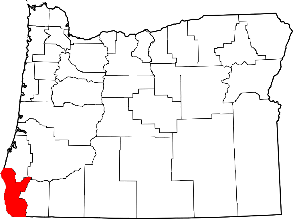
- Locator map of Curry County in southwestern Oregon.
David Benbennick made this map. For more information, see Commons:United States county locator maps.
| Yr wyf fi, deiliad hawlfraint y gwaith hwn, yn ei ryddhau i'r parth cyhoeddus, a hynny'n fyd-eang. Hwyrach nad yw hyn yn bosib yn ôl cyfraith rhai gwledydd; os felly: Rwyn rhoi i unrhywun yr hawl i ddefnyddio'r gwaith hwn at unrhyw ddiben, heb unrhyw amodau, oddieithr unrhyw amodau gofynnol yn ôl y gyfraith. |
Hanes y ffeil
Cliciwch ar ddyddiad / amser i weld y ffeil fel ag yr oedd bryd hynny.
| Dyddiad / Amser | Bawdlun | Hyd a lled | Defnyddiwr | Sylw | |
|---|---|---|---|---|---|
| cyfredol | 16:16, 12 Chwefror 2006 | | 6,451 × 4,810 (136 KB) | David Benbennick | {{subst:User:Dbenbenn/clm|county=Curry County|state=Oregon|type=county}} |
Cysylltiadau'r ffeil
Mae'r 2 tudalennau a ddefnyddir isod yn cysylltu i'r ddelwedd hon:
Defnydd cydwici y ffeil
Mae'r wicis eraill hyn yn defnyddio'r ffeil hon:
- Y defnydd ar ar.wikipedia.org
- Y defnydd ar bg.wikipedia.org
- Y defnydd ar bpy.wikipedia.org
- Y defnydd ar ca.wikipedia.org
- Y defnydd ar cdo.wikipedia.org
- Y defnydd ar ceb.wikipedia.org
- Y defnydd ar ce.wikipedia.org
- Y defnydd ar de.wikipedia.org
- Y defnydd ar en.wikipedia.org
- List of counties in Oregon
- Curry County, Oregon
- Brookings, Oregon
- Gold Beach, Oregon
- Harbor, Oregon
- Port Orford, Oregon
- Confederated Tribes of Coos, Lower Umpqua and Siuslaw Indians
- Langlois, Oregon
- Agness, Oregon
- Carpenterville, Oregon
- Pistol River, Oregon
- Sixes, Oregon
- Wedderburn, Oregon
- Template:Curry County, Oregon
- Nesika Beach, Oregon
- User:Nyttend/County templates/OR
- Ophir, Oregon
- National Register of Historic Places listings in Curry County, Oregon
- User:Lhammer610/Sandbox
- Ophir Beach
- Barley Beach
- Illahe, Oregon
- Marial, Oregon
- Denmark, Oregon
- Category:Populated places in Curry County, Oregon
- Bagnell Ferry, Oregon
- Plum Trees, Oregon
- Hunter Creek, Oregon
- Frankport, Oregon
- User:AridCeption/sandbox
- Y defnydd ar es.wikipedia.org
Gweld rhagor o'r defnydd cydwici o'r ffeil hon.