Delwedd:Rostock asv2018-05 img42 aerial view.jpg
Maint y rhagolwg: 800 × 533 picsel. Eglurdebau eraill: 320 × 213 picsel | 640 × 427 picsel | 1,024 × 683 picsel | 1,280 × 853 picsel | 2,560 × 1,707 picsel | 4,722 × 3,148 picsel.
Maint llawn ((4,722 × 3,148 picsel, maint y ffeil: 11.01 MB, ffurf MIME: image/jpeg))
Crynodeb
| Disgrifiad |
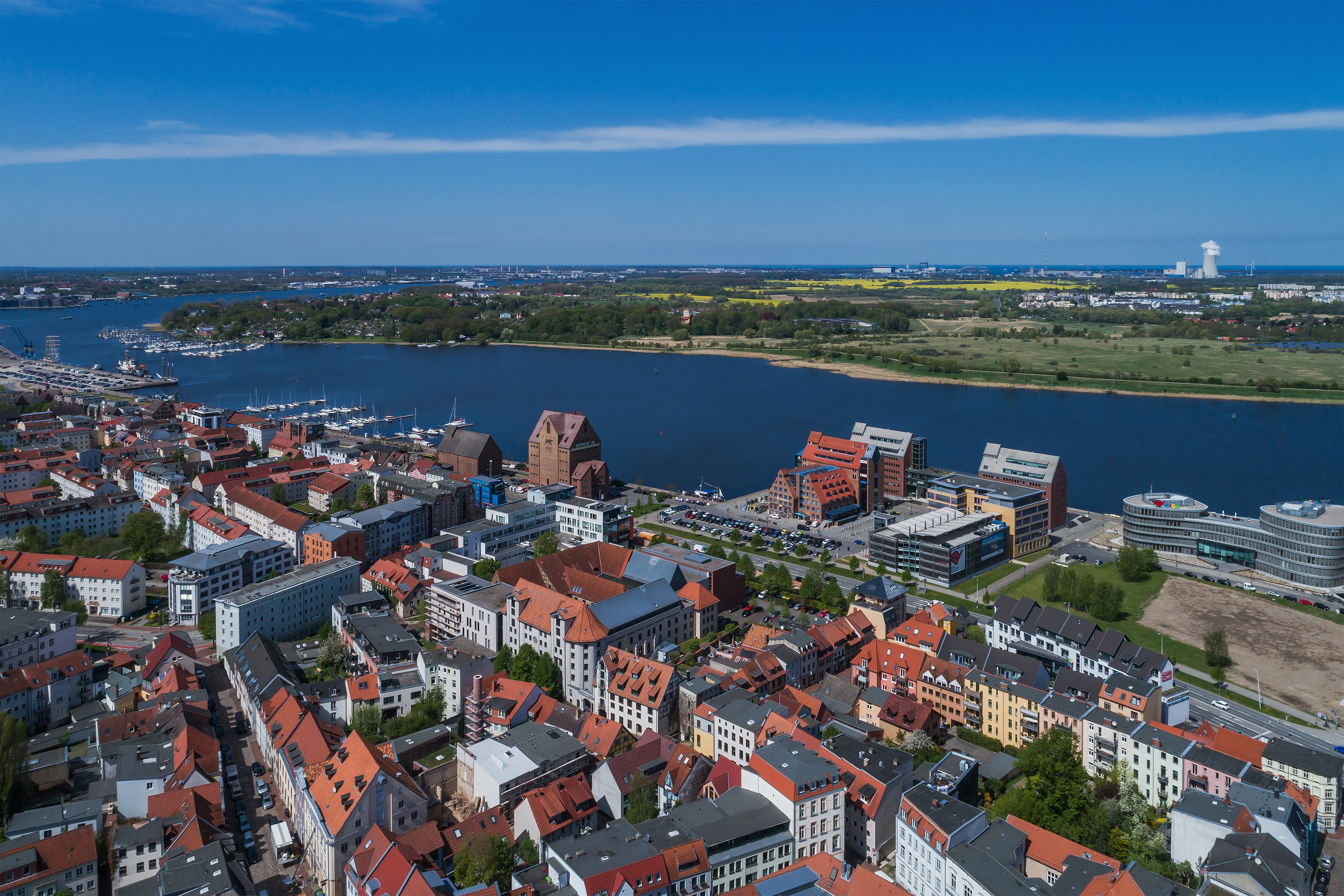
English: Aerial photo near the urban port in Rostock, Germany
Deutsch: Luftaufnahme nahe Stadthafen in Rostock, Deutschland
Русский: Аэрофотосъёмка недалеко от городского порта в Ростоке, Германия |
| Dyddiad | |
| Ffynhonnell | Gwaith yr uwchlwythwr |
| Awdur | A.Savin |
| Caniatâd (Ailddefnyddio'r ffeil hon) |
.svg) Just attribute the author: «A.Savin, Wikipedia»; if you have questions — Telegram, or e-mail to wikiphotospace@gmail.com..svg) Просто укажите в качестве автора: «А.Савин, Википедия»; если есть вопрос — телеграм, или эл.почта на wikiphotospace@gmail.com. Kennzeichnen Sie einfach als Autor: «A.Savin, Wikipedia»; falls Sie Fragen haben — Telegram, oder E-Mail an wikiphotospace@gmail.com.
Thank you. |
| Camera location | | View this and other nearby images on: OpenStreetMap |
|---|
Trwyddedu
| Haelfraint: Mae'r gwaith hwn o gelfyddyd yn rhydd; gallwch ei ailddosbarthu neu ei addasu yn ôl termau'r drwydded Free Art. Gallwch weld enghraifft o'r drwydded hon ar wefan Copyleft Attitude ac hefyd ar wefannau eraill. |
Hanes y ffeil
Cliciwch ar ddyddiad / amser i weld y ffeil fel ag yr oedd bryd hynny.
| Dyddiad / Amser | Bawdlun | Hyd a lled | Defnyddiwr | Sylw | |
|---|---|---|---|---|---|
| cyfredol | 15:27, 13 Tachwedd 2018 | | 4,722 × 3,148 (11.01 MB) | A.Savin | {{User:A.Savin/F |Description= {{en|Aerial photo near the urban port in Rostock, Germany}} {{de|Luftaufnahme nahe Stadthafen in Rostock, Deutschland}} {{ru|Аэрофотосъёмка недалеко от городского порта в Ростоке, Германия}} |Year=2018 |Country=Germany |Month=05 |Day=02}} {{Location|54|5|23.1|N|12|8|50.5|E|region:DE-MV}} Category:Taken with DJI FC6310 Category:2018 in Rostock Category:Aerial photographs of Rostock Category:Stadthafen Rostock in the 2010s [[Category:Am Strande (R... |
Cysylltiadau'r ffeil
Mae'r 1 tudalennau a ddefnyddir isod yn cysylltu i'r ddelwedd hon:
Defnydd cydwici y ffeil
Mae'r wicis eraill hyn yn defnyddio'r ffeil hon:
- Y defnydd ar ar.wikipedia.org
- Y defnydd ar arz.wikipedia.org
- Y defnydd ar ast.wikipedia.org
- Y defnydd ar ba.wikipedia.org
- Y defnydd ar be.wikipedia.org
- Y defnydd ar ca.wikipedia.org
- Y defnydd ar ceb.wikipedia.org
- Y defnydd ar de.wikivoyage.org
- Y defnydd ar diq.wikipedia.org
- Y defnydd ar el.wikipedia.org
- Y defnydd ar en.wikipedia.org
- Y defnydd ar en.wikivoyage.org
- Y defnydd ar es.wikipedia.org
- Y defnydd ar es.wikivoyage.org
- Y defnydd ar eu.wikipedia.org
- Y defnydd ar fi.wikipedia.org
- Y defnydd ar fr.wikivoyage.org
- Y defnydd ar gl.wikipedia.org
- Y defnydd ar hu.wikipedia.org
- Y defnydd ar hy.wikipedia.org
- Y defnydd ar ia.wikipedia.org
- Y defnydd ar it.wikipedia.org
- Y defnydd ar it.wikivoyage.org
- Y defnydd ar ka.wikipedia.org
- Y defnydd ar ky.wikipedia.org
- Y defnydd ar lb.wikipedia.org
- Y defnydd ar lmo.wikipedia.org
- Y defnydd ar ms.wikipedia.org
- Y defnydd ar mt.wikipedia.org
- Y defnydd ar nds.wikipedia.org
- Y defnydd ar nl.wikipedia.org
- Y defnydd ar nl.wikivoyage.org
- Y defnydd ar no.wikipedia.org
- Y defnydd ar os.wikipedia.org
- Y defnydd ar pl.wikipedia.org
- Y defnydd ar pl.wikivoyage.org
- Y defnydd ar pt.wikivoyage.org
- Y defnydd ar ro.wikipedia.org
- Y defnydd ar ru.wikivoyage.org
Gweld rhagor o'r defnydd cydwici o'r ffeil hon.