Delwedd:Sea of Ochotsk 151.75790E 53.57880N.jpg
Maint y rhagolwg: 800 × 599 picsel. Eglurdebau eraill: 320 × 240 picsel | 640 × 479 picsel | 1,024 × 766 picsel | 1,280 × 958 picsel.
Maint llawn ((1,280 × 958 picsel, maint y ffeil: 94 KB, ffurf MIME: image/jpeg))
Crynodeb
| Disgrifiad |
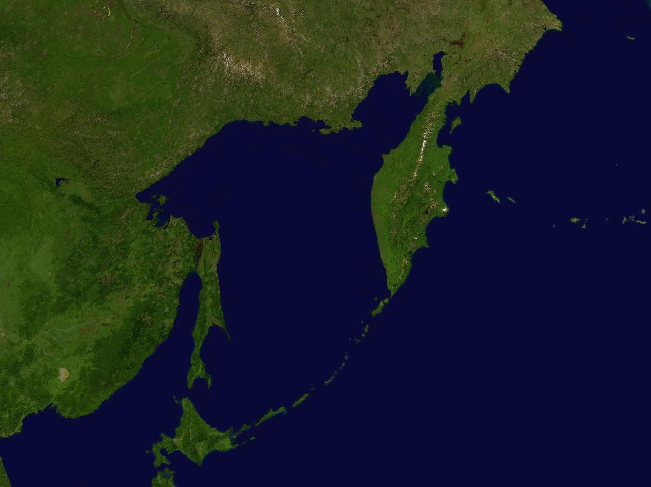
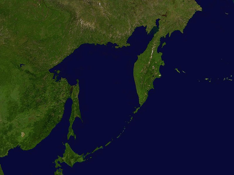
English: Sea of Ochotsk |
| Dyddiad | 17 Mai 2005 (upload date) |
| Ffynhonnell | Screenshot from NASA World Wind software |
| Awdur | NASA |
| Object location | | View this and other nearby images on: OpenStreetMap |
|---|
Trwyddedu
| This image is in the public domain because it is a screenshot from NASA’s globe software World Wind using a public domain layer, such as Blue Marble, MODIS, Landsat, SRTM, USGS or GLOBE.
|
 |
Hanes y ffeil
Cliciwch ar ddyddiad / amser i weld y ffeil fel ag yr oedd bryd hynny.
| Dyddiad / Amser | Bawdlun | Hyd a lled | Defnyddiwr | Sylw | |
|---|---|---|---|---|---|
| cyfredol | 17:07, 17 Mai 2005 | | 1,280 × 958 (94 KB) | Rex | Sea of Ochotsk NASA World Wind screenshot. {{PD-USGov-NASA}} Category:Sea |
Cysylltiadau'r ffeil
Nid oes tudalennau'n defnyddio'r ffeil hon.
Defnydd cydwici y ffeil
Mae'r wicis eraill hyn yn defnyddio'r ffeil hon:
- Y defnydd ar af.wikipedia.org
- Y defnydd ar an.wikipedia.org
- Y defnydd ar avk.wikipedia.org
- Y defnydd ar ca.wikipedia.org
- Y defnydd ar en.wikipedia.org
- Y defnydd ar es.wikipedia.org
- Y defnydd ar fr.wikipedia.org
- Y defnydd ar gl.wikipedia.org
- Y defnydd ar hu.wikipedia.org
- Y defnydd ar la.wikipedia.org
- Y defnydd ar pt.wikipedia.org
- Y defnydd ar sc.wikipedia.org
- Y defnydd ar sv.wikipedia.org