Delwedd:TulkarmRegion1940s.png
Maint y rhagolwg: 506 × 600 picsel. Eglurdebau eraill: 202 × 240 picsel | 405 × 480 picsel | 1,007 × 1,194 picsel.
Maint llawn ((1,007 × 1,194 picsel, maint y ffeil: 584 KB, ffurf MIME: image/png))
Crynodeb
| Disgrifiad |
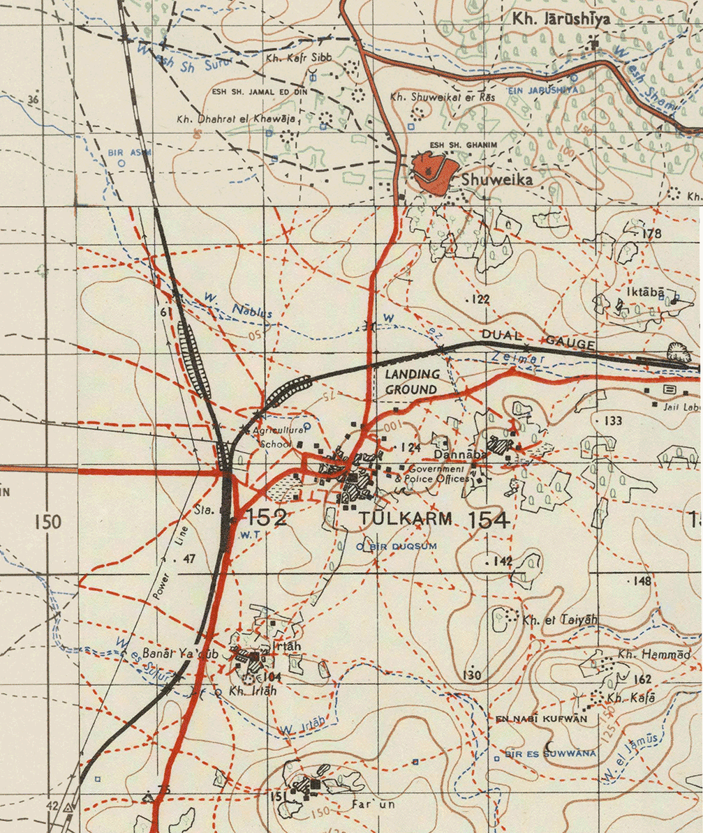
English: The region of Tulkarm, Palestine, in the 1940s.
العربية: منطقة طولكرم ، فلسطين ، في الأربعينيات. |
| Dyddiad | |
| Ffynhonnell | Ordinance map series "Levant 1:50,000" |
| Awdur | Survey of Palestine |
Trwyddedu
This work created by the United Kingdom Government is in the public domain.
This is because it is one of the following:
HMSO has declared that the expiry of Crown Copyrights applies worldwide (ref: HMSO Email Reply)
|
 |
Hanes y ffeil
Cliciwch ar ddyddiad / amser i weld y ffeil fel ag yr oedd bryd hynny.
| Dyddiad / Amser | Bawdlun | Hyd a lled | Defnyddiwr | Sylw | |
|---|---|---|---|---|---|
| cyfredol | 13:13, 29 Ebrill 2015 | | 1,007 × 1,194 (584 KB) | Zero0000 | User created page with UploadWizard |
Cysylltiadau'r ffeil
Mae'r 1 tudalennau a ddefnyddir isod yn cysylltu i'r ddelwedd hon:
Defnydd cydwici y ffeil
Mae'r wicis eraill hyn yn defnyddio'r ffeil hon:
- Y defnydd ar ar.wikipedia.org
- Y defnydd ar bn.wikipedia.org
- Y defnydd ar en.wikipedia.org
- Y defnydd ar he.wikipedia.org
- Y defnydd ar nl.wikipedia.org
- Y defnydd ar sr.wikipedia.org
- Y defnydd ar tr.wikipedia.org