Delwedd:Union County Courthouse, La Grande, Oregon.jpg

Maint llawn ((1,280 × 960 picsel, maint y ffeil: 164 KB, ffurf MIME: image/jpeg))
Crynodeb
| Disgrifiad |
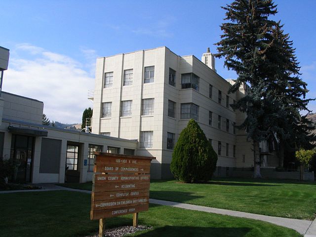
La Grande is a city in Union County, Oregon, United States.The population was 13,082 at the 2010 census. It is the county seat of Union County. La Grande lies east of the Blue Mountains and southeast of Pendleton. The Grande Ronde Valley had long been a waypoint along the Oregon Trail. The first permanent settler in the La Grande area was Benjamin Brown in 1861. La Grande was incorporated as a city in 1865, and platted in 1868. La Grande grew rapidly during the late 1860s and early 1870s, partially because of the many gold mines in the region and the valley's agricultural capabilities. The early business establishments centered on C Avenue between present day Fourth Street and the hillside on the west end. La Grande's Eastern Oregon University, formerly known as Eastern Oregon State College, began in 1929 as Eastern Oregon Normal School, a teachers college. La Grande had a factory for processing sugar beets into raw sugar. The sugar beets came from the nearby Mormon town of Nibley, Oregon, and both were owned by the Oregon Sugar Company. en.wikipedia.org/wiki/La_Grande,_Oregon en.wikipedia.org/wiki/Wikipedia:Text_of_Creative_Commons_... |
| Dyddiad | |
| Ffynhonnell | Union County Courthouse, La Grande, Oregon |
| Awdur | Ken Lund from Reno, Nevada, USA |
| Camera location | | View this and other nearby images on: OpenStreetMap |
|---|
Trwyddedu
- Mae'n rhydd i chi:
- rhannu – gallwch gopïo, dosbarthu a throsglwyddo'r gwaith
- ailwampio – gallwch addasu'r gwaith
- Ar yr amodau canlynol:
- cydnabyddiaeth – Mae'n rhaid i chi nodi manylion y gwaith hwn, rhoi dolen i'r drwydded, a nodi os y bu golygu arni, yn y modd a benwyd gan yr awdur neu'r trwyddedwr (ond heb awgrymu o gwbl eu bod yn eich cymeradwyo chi na'ch defnydd o'r gwaith).
- rhannu ar dermau tebyg – Os byddwch yn addasu'r gwaith hwn, neu yn ei drawsnewid, neu yn adeiladu arno, mae'n rhaid i chi ddosbarthu'r gwaith dan drwydded sy'n union yr un fath same a'r gwreiddiol.
| This image was originally posted to Flickr by Ken Lund at https://flickr.com/photos/75683070@N00/265581433. It was reviewed on 23 Ionawr 2016 by FlickreviewR and was confirmed to be licensed under the terms of the cc-by-sa-2.0. |
Hanes y ffeil
Cliciwch ar ddyddiad / amser i weld y ffeil fel ag yr oedd bryd hynny.
| Dyddiad / Amser | Bawdlun | Hyd a lled | Defnyddiwr | Sylw | |
|---|---|---|---|---|---|
| cyfredol | 04:23, 23 Ionawr 2016 | | 1,280 × 960 (164 KB) | Kingofthedead | Transferred from Flickr via Flickr2Commons |
Cysylltiadau'r ffeil
Mae'r 1 tudalennau a ddefnyddir isod yn cysylltu i'r ddelwedd hon:
Defnydd cydwici y ffeil
Mae'r wicis eraill hyn yn defnyddio'r ffeil hon:
- Y defnydd ar ar.wikipedia.org
- Y defnydd ar ceb.wikipedia.org
- Y defnydd ar ce.wikipedia.org
- Y defnydd ar eo.wikipedia.org
- Y defnydd ar es.wikipedia.org
- Y defnydd ar fr.wikipedia.org
- Y defnydd ar hu.wikipedia.org
- Y defnydd ar hy.wikipedia.org
- Y defnydd ar it.wikipedia.org
- Y defnydd ar ko.wikipedia.org
- Y defnydd ar no.wikipedia.org
- Y defnydd ar pl.wikipedia.org
- Y defnydd ar ru.wikipedia.org
- Y defnydd ar sr.wikipedia.org
- Y defnydd ar tr.wikipedia.org
- Y defnydd ar tt.wikipedia.org
- Y defnydd ar ur.wikipedia.org
- Y defnydd ar www.wikidata.org