Delwedd:Welcome Sign - Historic Savenac Tree Nursery.jpg
Maint y rhagolwg: 448 × 599 picsel. Eglurdebau eraill: 179 × 240 picsel | 359 × 480 picsel | 575 × 768 picsel | 766 × 1,024 picsel | 1,712 × 2,288 picsel.
Maint llawn ((1,712 × 2,288 picsel, maint y ffeil: 703 KB, ffurf MIME: image/jpeg))
| Disgrifiad |
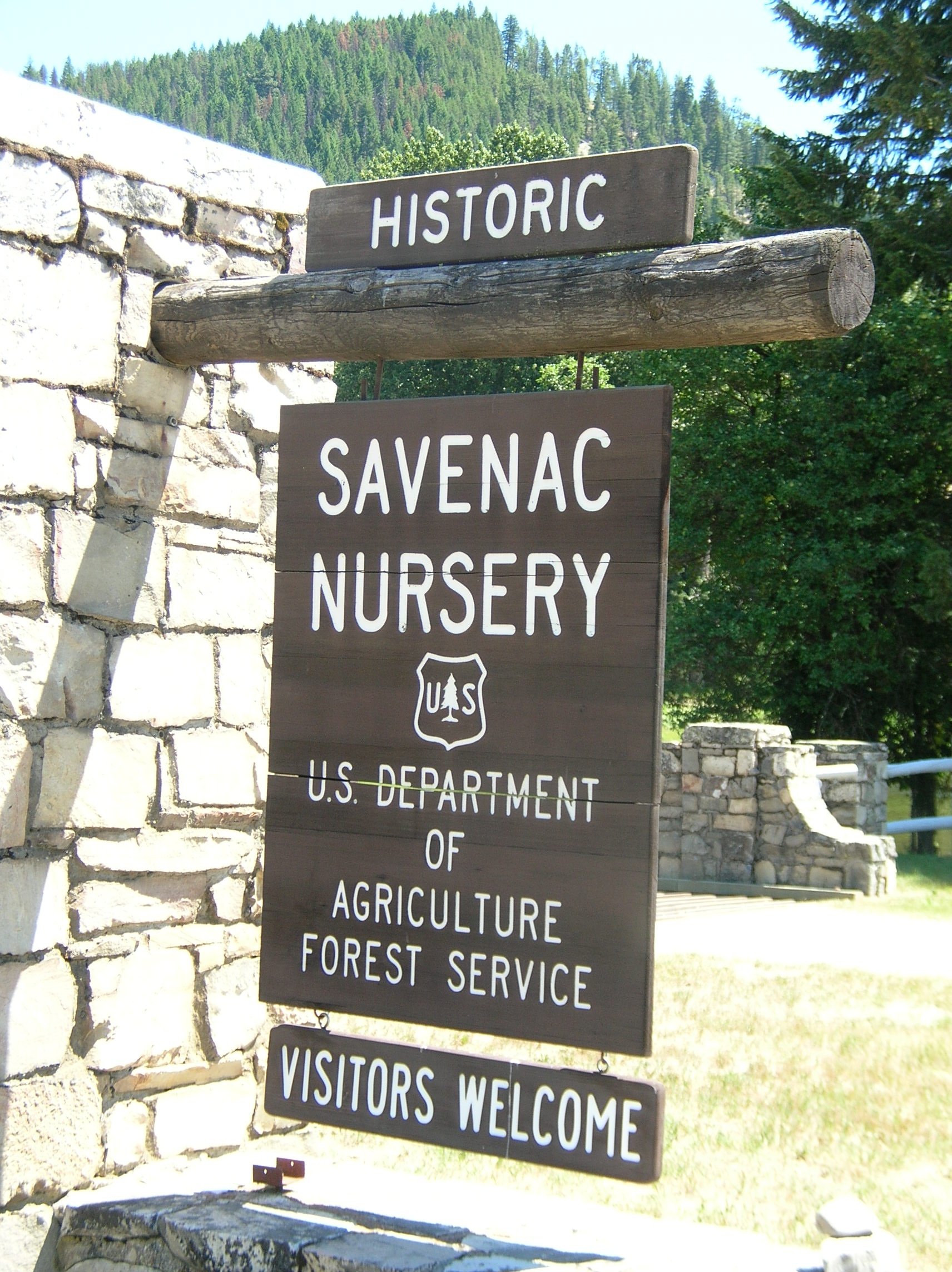
Savenac Historic Tree Nursery is located near Haugan, Montana. Savenac was once one of the largest and oldest USDA Forest Service tree nurseries in the western United States. It operated from 1907 until 1969. Savenac once produced million seedlings annually for use in reforestation of national forests throughout the United States. Its former operations have been moved to the Coeur d'Alene Nursery in Idaho.
|
||
| Dyddiad | |||
| Ffynhonnell | Flickr: Welcome Sign - Historic Savenac Tree Nursery | ||
| Awdur | Forest Service Northern Region | ||
| Caniatâd (Ailddefnyddio'r ffeil hon) |
Trwyddedir y ffeil hon yn ôl termau'r drwydded Creative Commons Attribution 2.0 Generic.
|
| Camera location | | View this and other nearby images on: OpenStreetMap |
|---|
Hanes y ffeil
Cliciwch ar ddyddiad / amser i weld y ffeil fel ag yr oedd bryd hynny.
| Dyddiad / Amser | Bawdlun | Hyd a lled | Defnyddiwr | Sylw | |
|---|---|---|---|---|---|
| cyfredol | 23:41, 5 Ebrill 2011 | | 1,712 × 2,288 (703 KB) | Flickr upload bot | Uploaded from http://flickr.com/photo/40882383@N03/4225845861 using Flickr upload bot |
Cysylltiadau'r ffeil
Mae'r 1 tudalennau a ddefnyddir isod yn cysylltu i'r ddelwedd hon:
Defnydd cydwici y ffeil
Mae'r wicis eraill hyn yn defnyddio'r ffeil hon:
- Y defnydd ar ar.wikipedia.org
- Y defnydd ar ceb.wikipedia.org
- Y defnydd ar en.wikipedia.org
- Y defnydd ar es.wikipedia.org
- Y defnydd ar fr.wikipedia.org
- Y defnydd ar hu.wikipedia.org
- Y defnydd ar hy.wikipedia.org
- Y defnydd ar ko.wikipedia.org
- Y defnydd ar no.wikipedia.org
- Y defnydd ar pl.wikipedia.org
- Y defnydd ar ru.wikipedia.org
- Y defnydd ar simple.wikipedia.org
- Y defnydd ar sr.wikipedia.org
- Y defnydd ar tr.wikipedia.org
- Y defnydd ar ur.wikipedia.org
- Y defnydd ar www.wikidata.org