Delwedd:Captain John Smith Statue, Historic Jamestowne, Colonial National Historical Park, Jamestown, Virginia (14239039490).jpg

Maint llawn ((4,000 × 3,000 picsel, maint y ffeil: 4.63 MB, ffurf MIME: image/jpeg))
.jpg)
Crynodeb
| Disgrifiad |
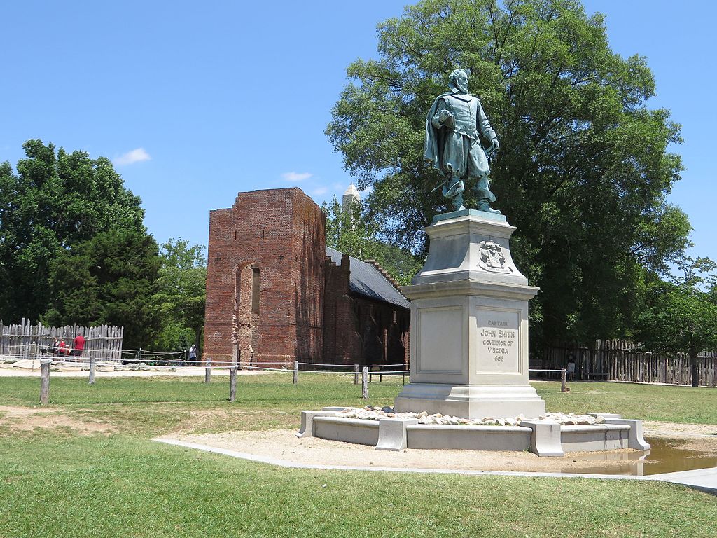
John Smith (c. January 1580 – 21 June 1631) Admiral of New England was an English soldier, explorer, and author. He was knighted for his services to Sigismund Bathory, Prince of Transylvania and his friend Mózes Székely. He was considered to have played an important part in the establishment of the first permanent English settlement in North America. He was a leader of the Virginia Colony (based at Jamestown) between September 1608 and August 1609, and led an exploration along the rivers of Virginia and the Chesapeake Bay. He was the first English explorer to map the Chesapeake Bay area and New England. Smith's books and maps are considered extremely important in encouraging and supporting English colonisation of the New World. He gave the name New England to the region and noted: "Here every man may be master and owner of his owne labour and land... If he have nothing but his hands, he may...by industrie quickly grow rich." When Jamestown was England's first permanent settlement in the New World, Smith trained the settlers to farm and work, thus saving the colony from early devastation. He publicly stated "he who shall not work, shall not eat". This strength of character and determination overcame problems presented from the hostile native Americans, the wilderness and the troublesome and uncooperative English settlers. Harsh weather, lack of water, living in a swampy wilderness, English unwillingness to work, and attacks from the Powhatan nation almost destroyed the colony. en.wikipedia.org/wiki/John_Smith_(explorer) en.wikipedia.org/wiki/Wikipedia:Text_of_Creative_Commons_... |
| Dyddiad | |
| Ffynhonnell | Captain John Smith Statue, Historic Jamestowne, Colonial National Historical Park, Jamestown, Virginia |
| Awdur | Ken Lund from Reno, Nevada, USA |
| Camera location | | View this and other nearby images on: OpenStreetMap |
|---|
.jpg¶ms=037.208275_N_-076.778989_E_globe:Earth_type:camera_source:Flickr_&language=cy)
Trwyddedu
- Mae'n rhydd i chi:
- rhannu – gallwch gopïo, dosbarthu a throsglwyddo'r gwaith
- ailwampio – gallwch addasu'r gwaith
- Ar yr amodau canlynol:
- cydnabyddiaeth – Mae'n rhaid i chi nodi manylion y gwaith hwn, rhoi dolen i'r drwydded, a nodi os y bu golygu arni, yn y modd a benwyd gan yr awdur neu'r trwyddedwr (ond heb awgrymu o gwbl eu bod yn eich cymeradwyo chi na'ch defnydd o'r gwaith).
- rhannu ar dermau tebyg – Os byddwch yn addasu'r gwaith hwn, neu yn ei drawsnewid, neu yn adeiladu arno, mae'n rhaid i chi ddosbarthu'r gwaith dan drwydded sy'n union yr un fath same a'r gwreiddiol.
| This image was originally posted to Flickr by Ken Lund at https://flickr.com/photos/75683070@N00/14239039490. It was reviewed on 3 Tachwedd 2016 by FlickreviewR and was confirmed to be licensed under the terms of the cc-by-sa-2.0. |
Hanes y ffeil
Cliciwch ar ddyddiad / amser i weld y ffeil fel ag yr oedd bryd hynny.
| Dyddiad / Amser | Bawdlun | Hyd a lled | Defnyddiwr | Sylw | |
|---|---|---|---|---|---|
| cyfredol | 16:24, 3 Tachwedd 2016 | | 4,000 × 3,000 (4.63 MB) | Ser Amantio di Nicolao | Transferred from Flickr via Flickr2Commons |
Cysylltiadau'r ffeil
Mae'r 1 tudalennau a ddefnyddir isod yn cysylltu i'r ddelwedd hon:
Defnydd cydwici y ffeil
Mae'r wicis eraill hyn yn defnyddio'r ffeil hon:
- Y defnydd ar ar.wikipedia.org
- Y defnydd ar arz.wikipedia.org
- Y defnydd ar az.wikipedia.org
- Y defnydd ar ca.wikipedia.org
- Y defnydd ar ce.wikipedia.org
- Y defnydd ar da.wikipedia.org
- Y defnydd ar en.wikipedia.org
- Y defnydd ar eo.wikipedia.org
- Y defnydd ar eu.wikipedia.org
- Y defnydd ar fr.wikipedia.org
- Y defnydd ar he.wikipedia.org
- Y defnydd ar pl.wikipedia.org
- Y defnydd ar ru.wikipedia.org
- Y defnydd ar tt.wikipedia.org
- Y defnydd ar uz.wikipedia.org
- Y defnydd ar www.wikidata.org
.jpg)